Floods have caused enormous damage in Saxony in recent years and great efforts have been made to reduce the flood risk in flood plains. The realisation that more needs to be done to reduce the risk outside these areas prompted three Saxon institutions to become involved in RAINMAN: the Saxon State Office for Environment, Agriculture and Geology (LfULG), the Saxon State Ministry for Regional Development (SMR) and the Leibniz Institute for Ecological Urban and Regional Development (IOER).
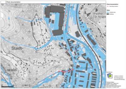
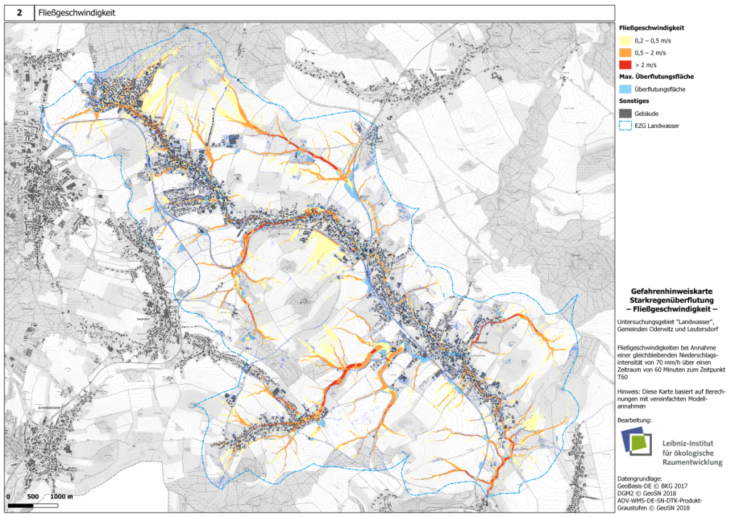
Administrations at different levels (local & regional) supported the Saxon RAINMAN project partners in the implementation of the pilot action with their practical knowledge and especially with their accumulated experience in dealing with floods caused by heavy rainfall. Together with the municipalities of Oderwitz and Leutersdorf as well as the cities of Meissen and Görlitz (professional fire brigades), the project partners tested and validated innovative methods for risk assessment and mapping and organised risk communication and reduction measures. The results were exchanged within the Saxon RAINMAN sphere of activity and across national borders. In Saxony, the pilot action has influenced administrative work at state, regional and local level.

- All
- Assessment and mapping
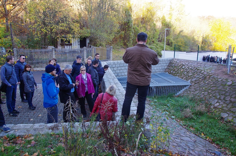
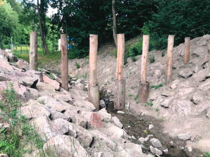
- Risk reduction measures
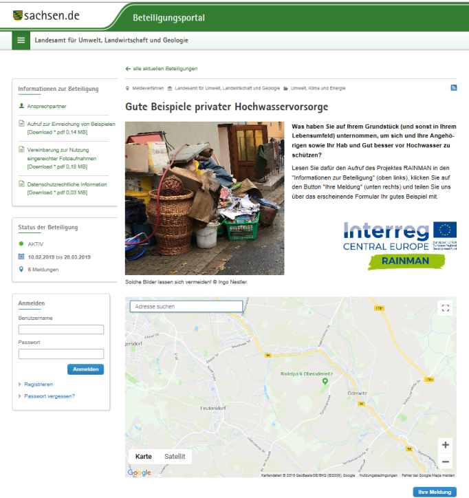
- Risk communication


- All
- Assessment and mapping
- Risk reduction measures
- Risk communication


- All
- Assessment and mapping
- Risk reduction measures
- Risk communication