

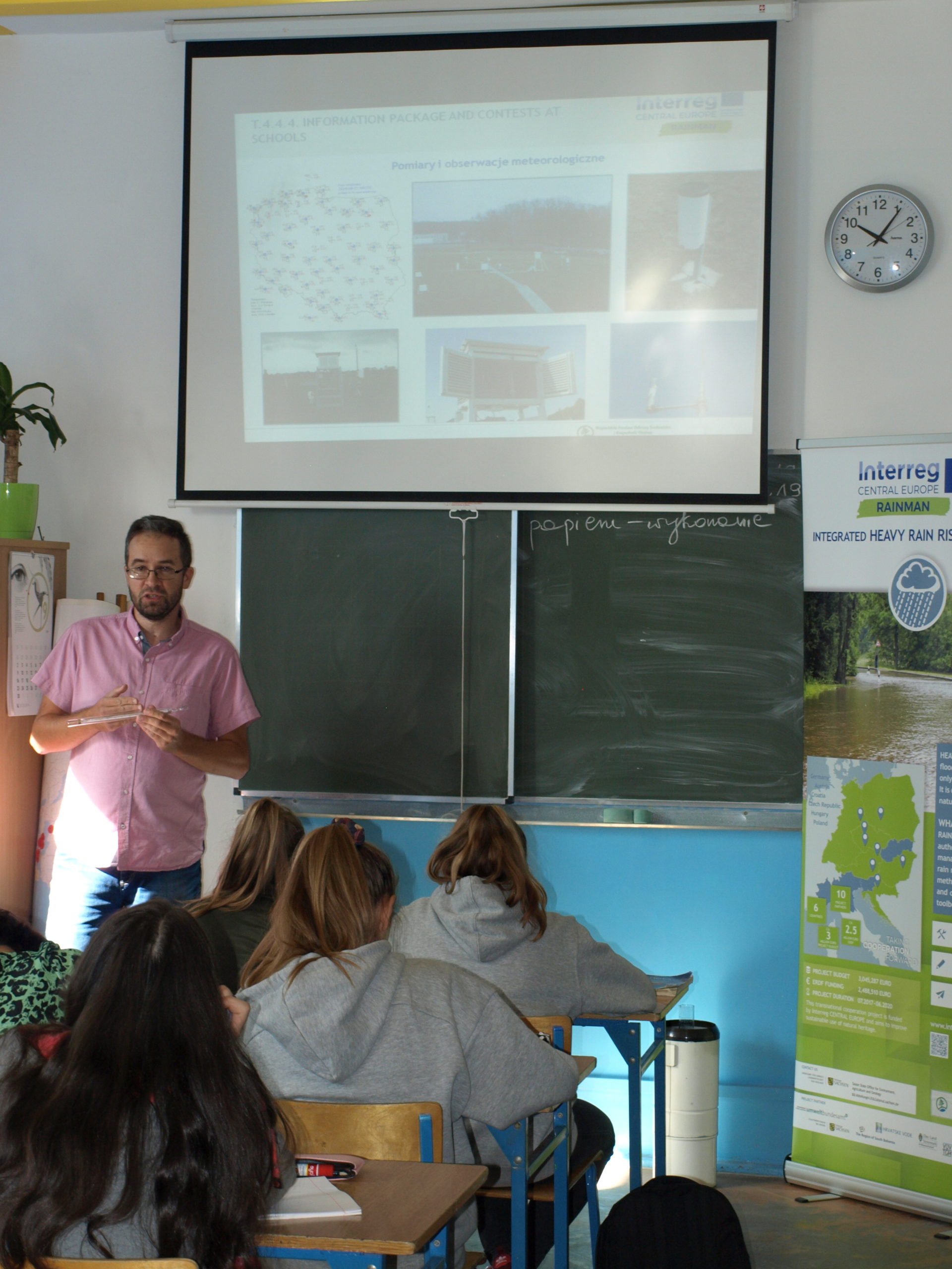
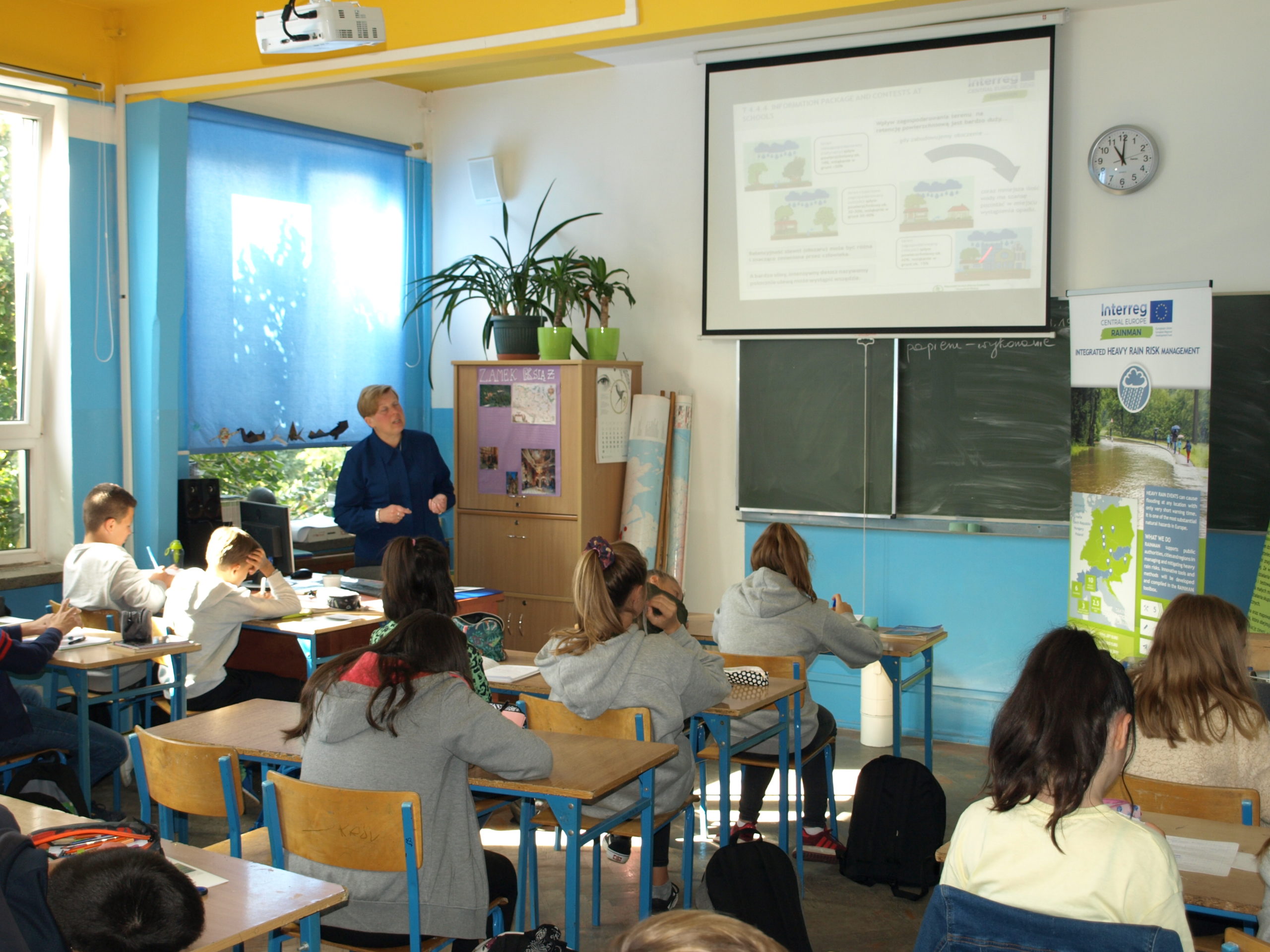
In Poland, the Institute of Meteorology and Water Management National Research Institute together with associated partners: The Institute for Territorial Development, State Water Holding Polish Waters and the Regional Water Management Board in Wrocław support the RAINMAN project in the field of methodology for developing hazard maps, analysing good practices to reduce the risk of heavy rain and developing a contribution of the concept of retention and the catalogue of good practice and action plans in the field of spatial planning. Lesson packages have been developed for use at school workshops that have been preceded by a survey of the territory at several interested schools. Moreover, cooperation to raise awareness about climate change and extreme weather phenomena, with particular emphasis on heavy rains, is implemented at local, regional and international level.


- All
- Assessment and mapping
- Risk communication
- Risk reduction measures
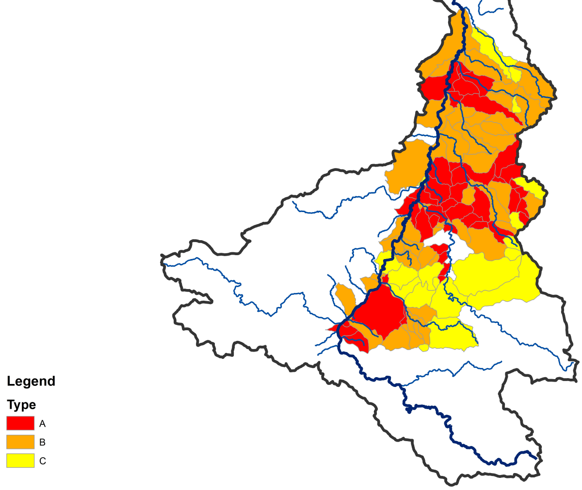
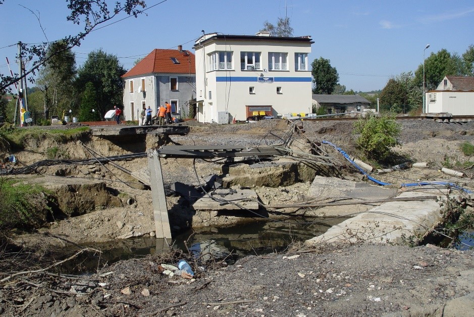
Flash flood hazard and vulnerability maps
– for Lower Silesia
Read more in English [pdf, 220 KB]
Teaching instruction
– for two lessons
Read more in English [pdf, 199 KB]
Presentation for lesson 1
– topic “Heavy rain risk”
Read more in English [pdf, 242 KB]
Presentation for lesson 2
– topic “Ways of dealing with floods after heavy rainfall”
Read more in English [pdf, 253 KB]
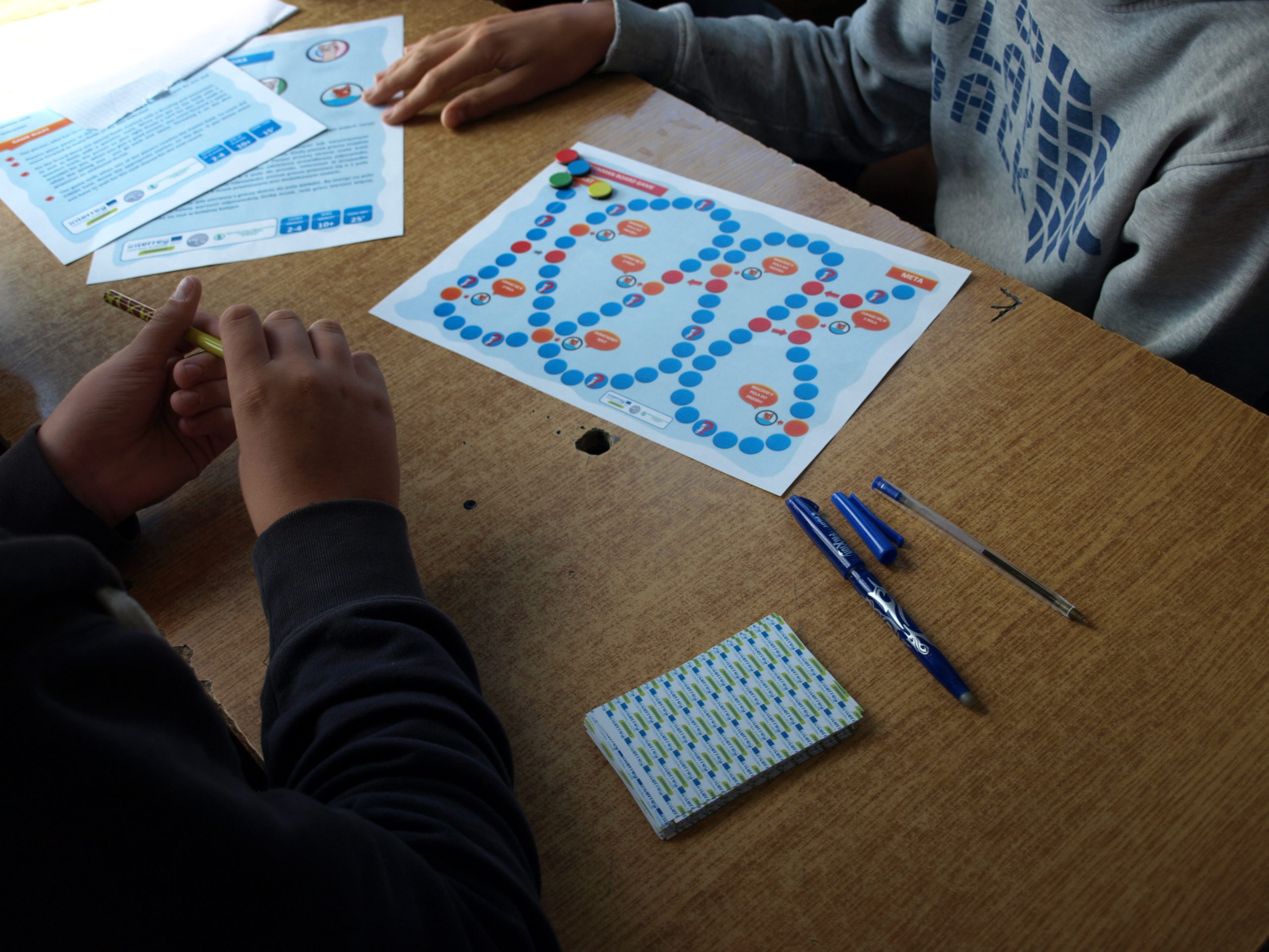
Board game
– with question cards
Read more in English [pdf, 216 KB]
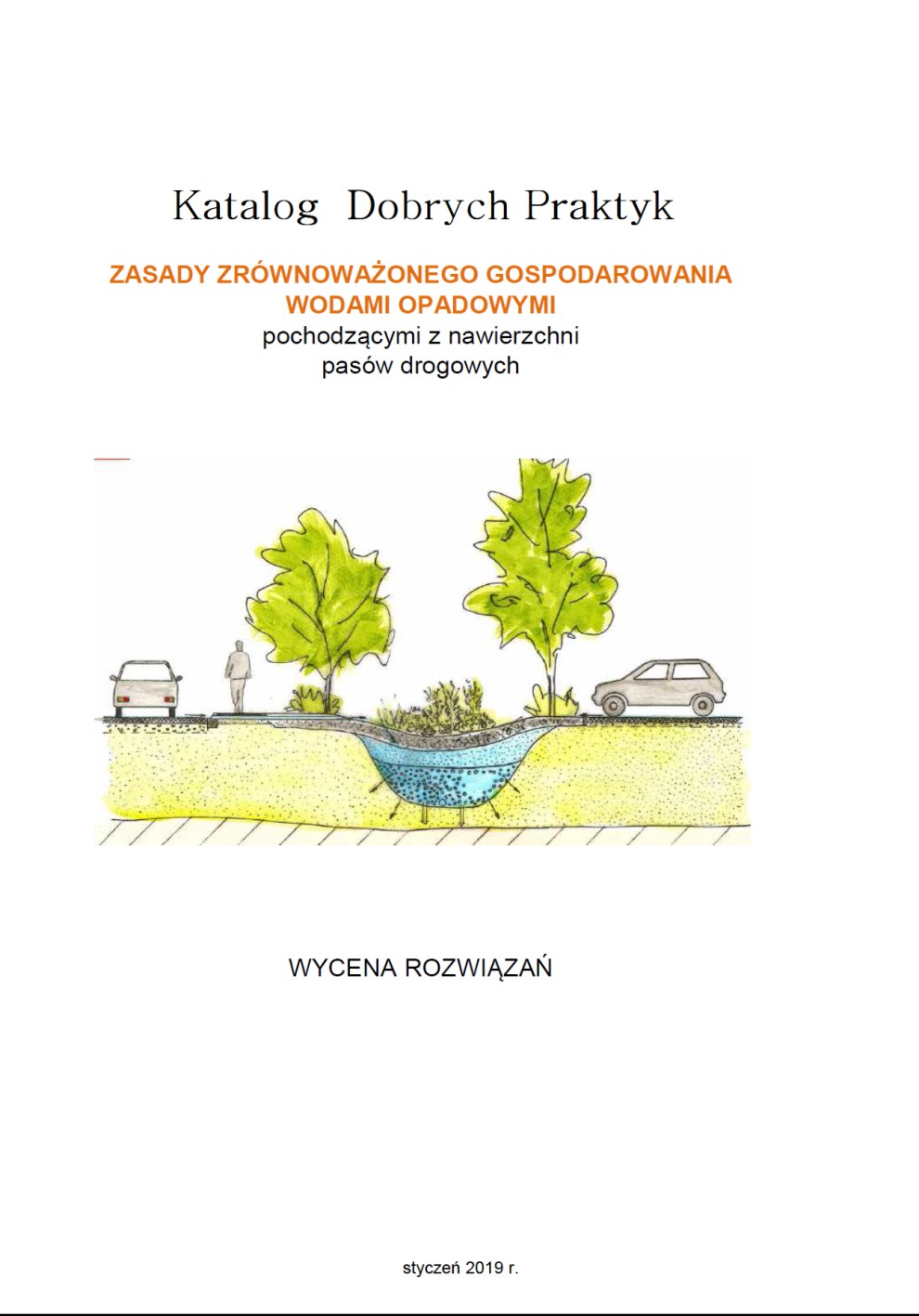
Price estimation
– for solutions from the “Good Practice Catalogue –the Rules for Sustainable Management of Rainwater from Road Surface”
Read more in English [pdf, 239 KB]
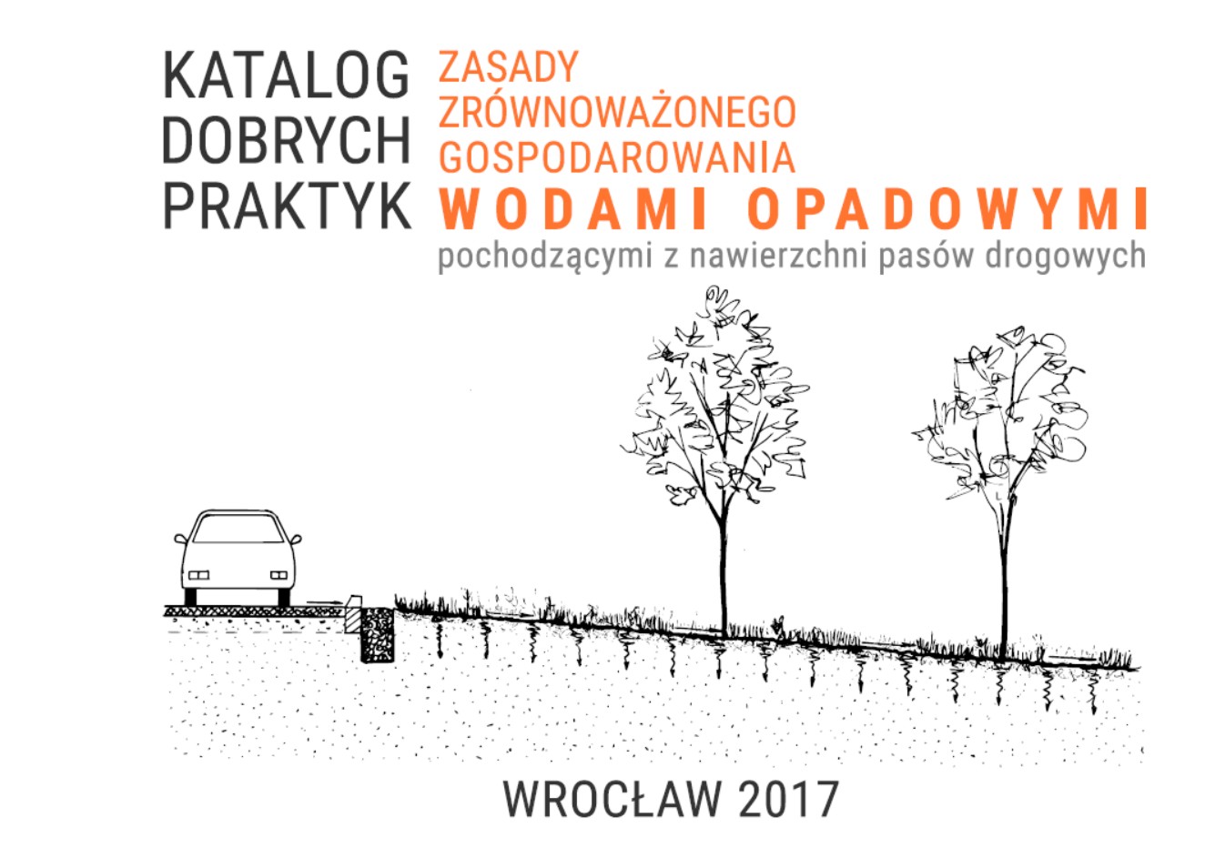
Good Practice Catalogue
– the Rules for Sustainable Management of Rainwater from Road Surface
Read more in English [pdf, 235 KB]
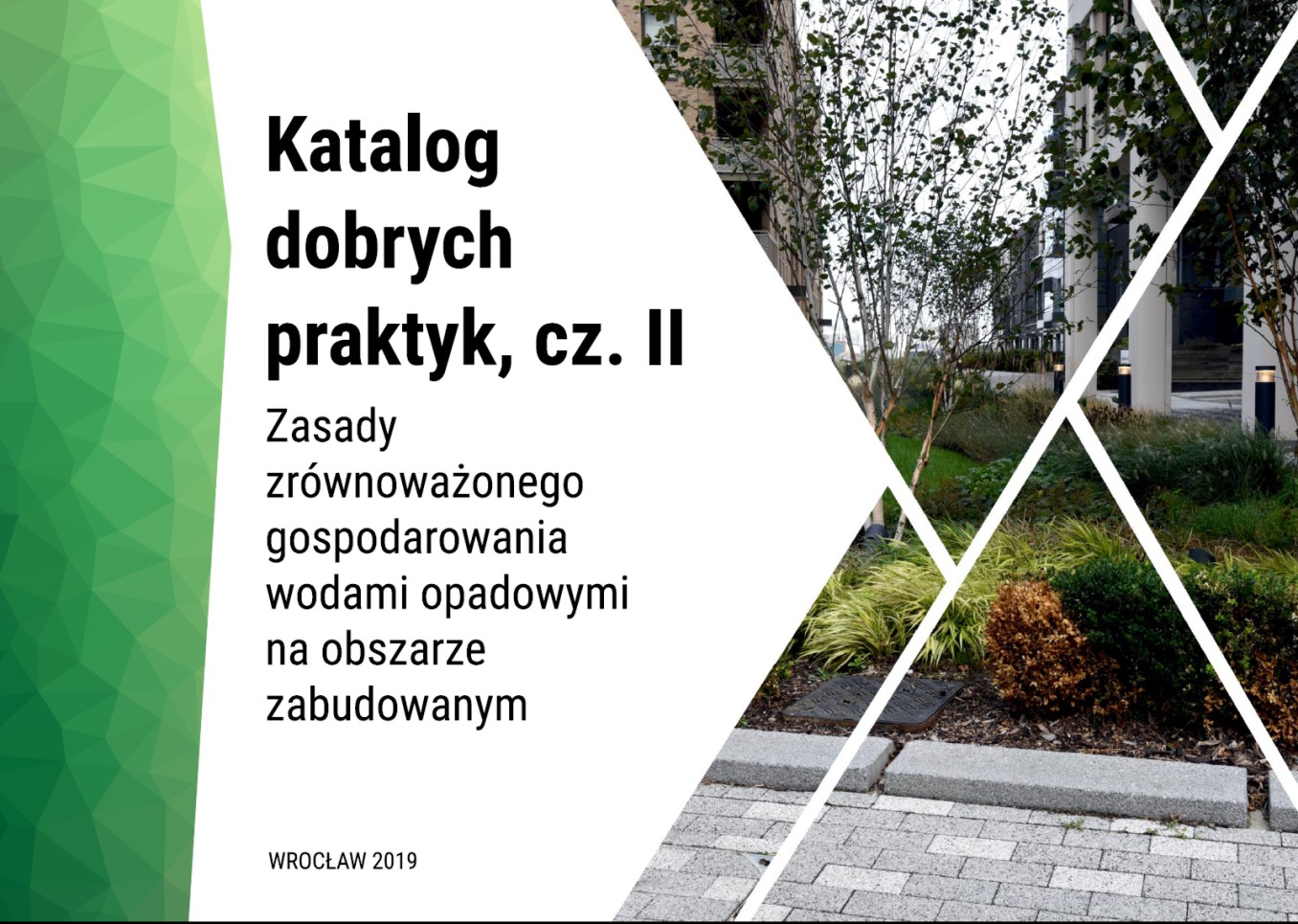
Good Practice Catalogue
– the Rules for Sustainable Management of Rainwater in an urbanized area (part II)
Read more in English [pdf, 242 KB]
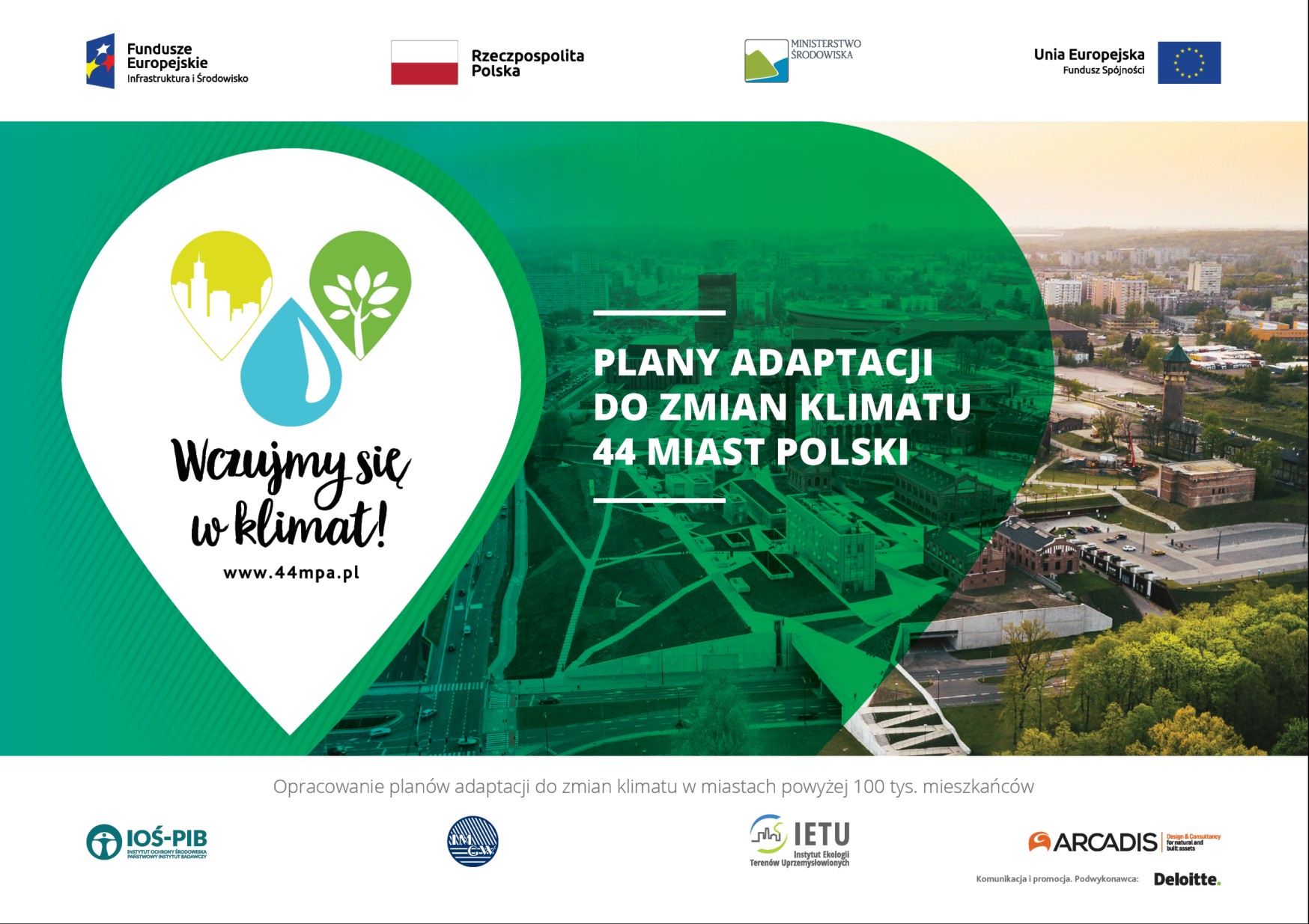
Project Climate Change Adaptation Plans in 44 Polish Cities
– Urban Adaptation Plans – UAP
Read more in English [pdf, 234 KB]

The municipal Wroclaw subsidy program "Catch the Rain"
Read more in English [pdf, 328 KB]

Water absorbing geocomposite (WAG)
Read more in English [pdf, 406 KB]
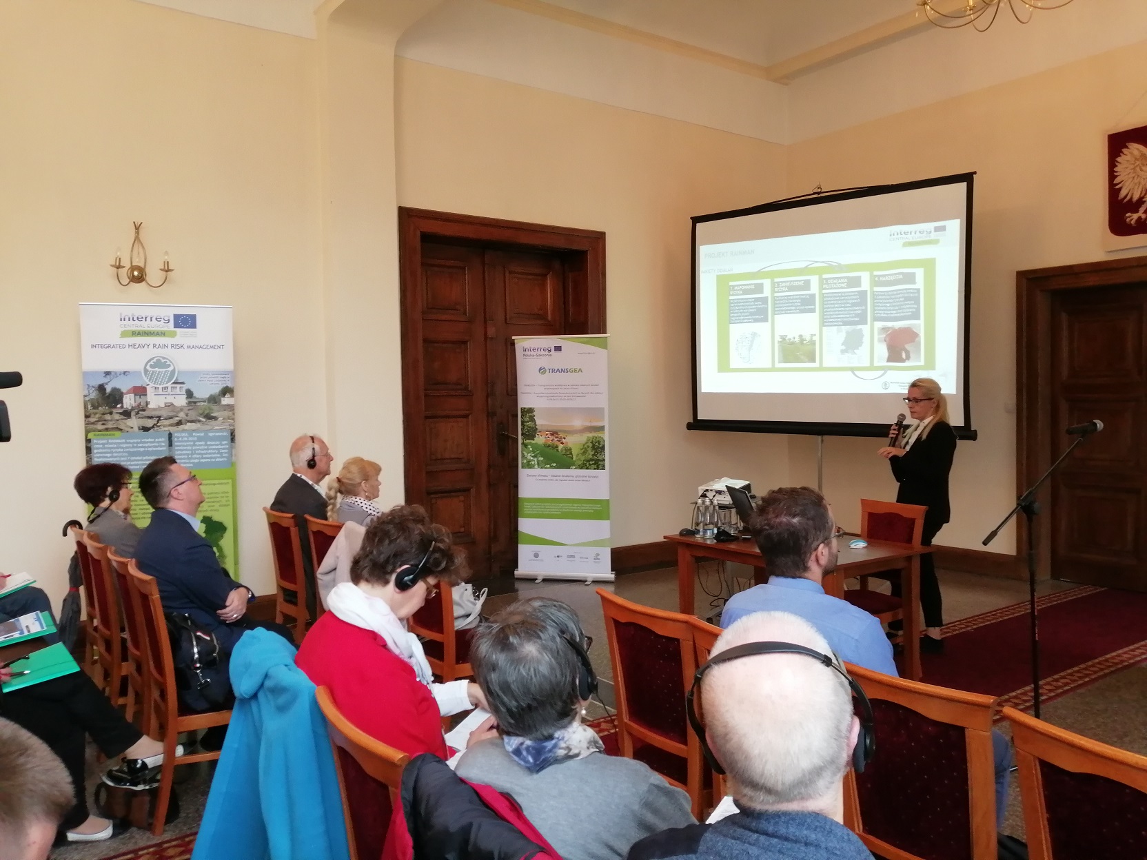
Local scale informative event
– increasing awareness on heavy rain phenomena, together with consequences and mitigation measures at local scale conference of TRANSGEA project
Read more in English [pdf, 221 KB]
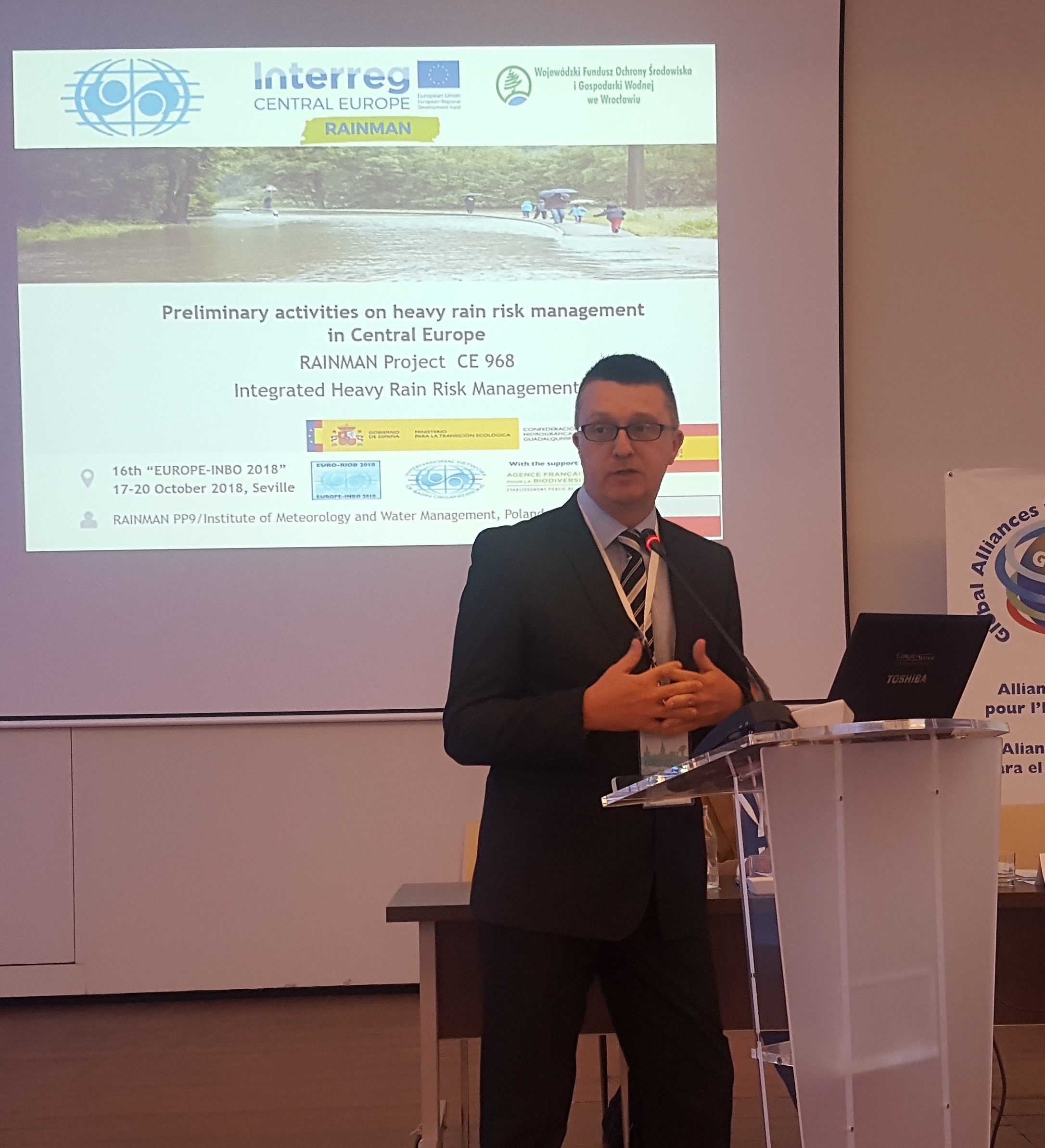
Increasing awareness on heavy rain phenomena
– together with consequences and mitigation measures at a wide scale at the EUROPE – INBO Conferences
Read more in English [pdf, 214 KB]
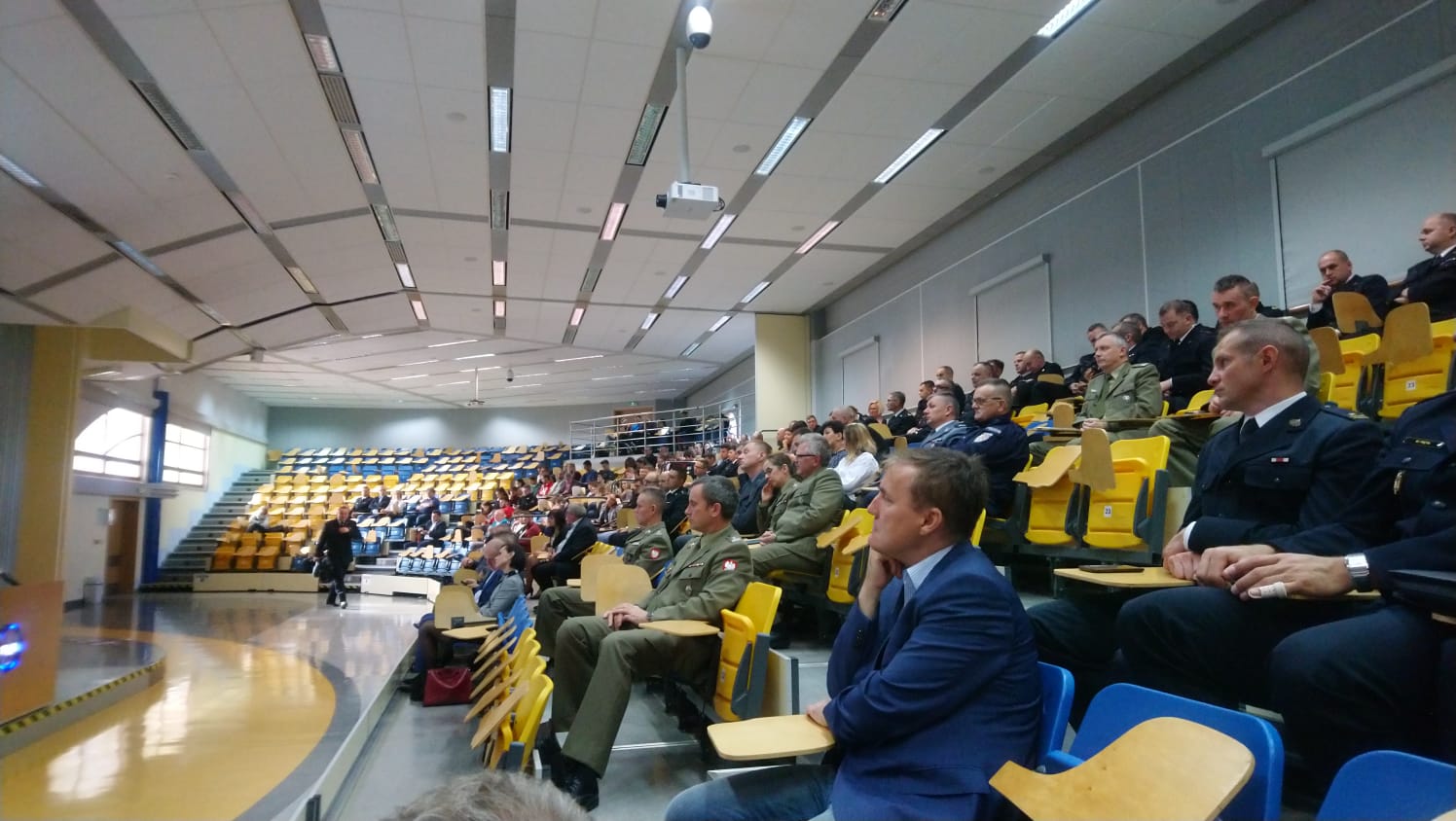
Conference on Integrated Emergency Services in Crisis Situations
– Session I – Innovative solutions in crisis situations
Read more in English [pdf, 159 KB]
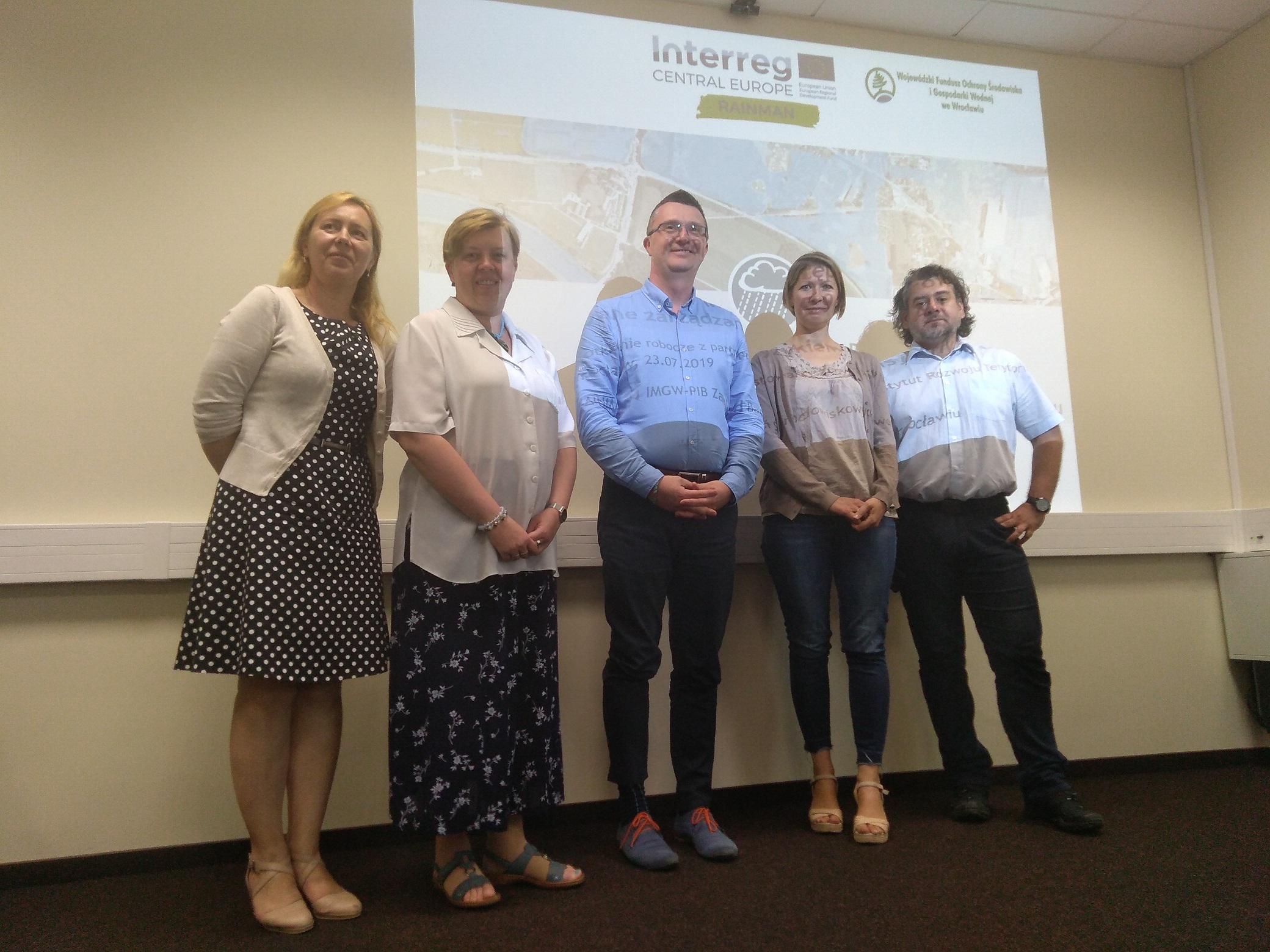
Dissemination meeting
– at the Institute for Territorial Development
Read more in English [pdf, 181 KB]


- All
- Assessment and mapping
- Risk communication
Flash flood hazard and vulnerability maps
– for Lower Silesia
Read more in English [pdf, 220 KB]
Local scale informative event
– increasing awareness on heavy rain phenomena, together with consequences and mitigation measures at local scale conference of TRANSGEA project
Read more in English [pdf, 221 KB]

- All
- Assessment and mapping
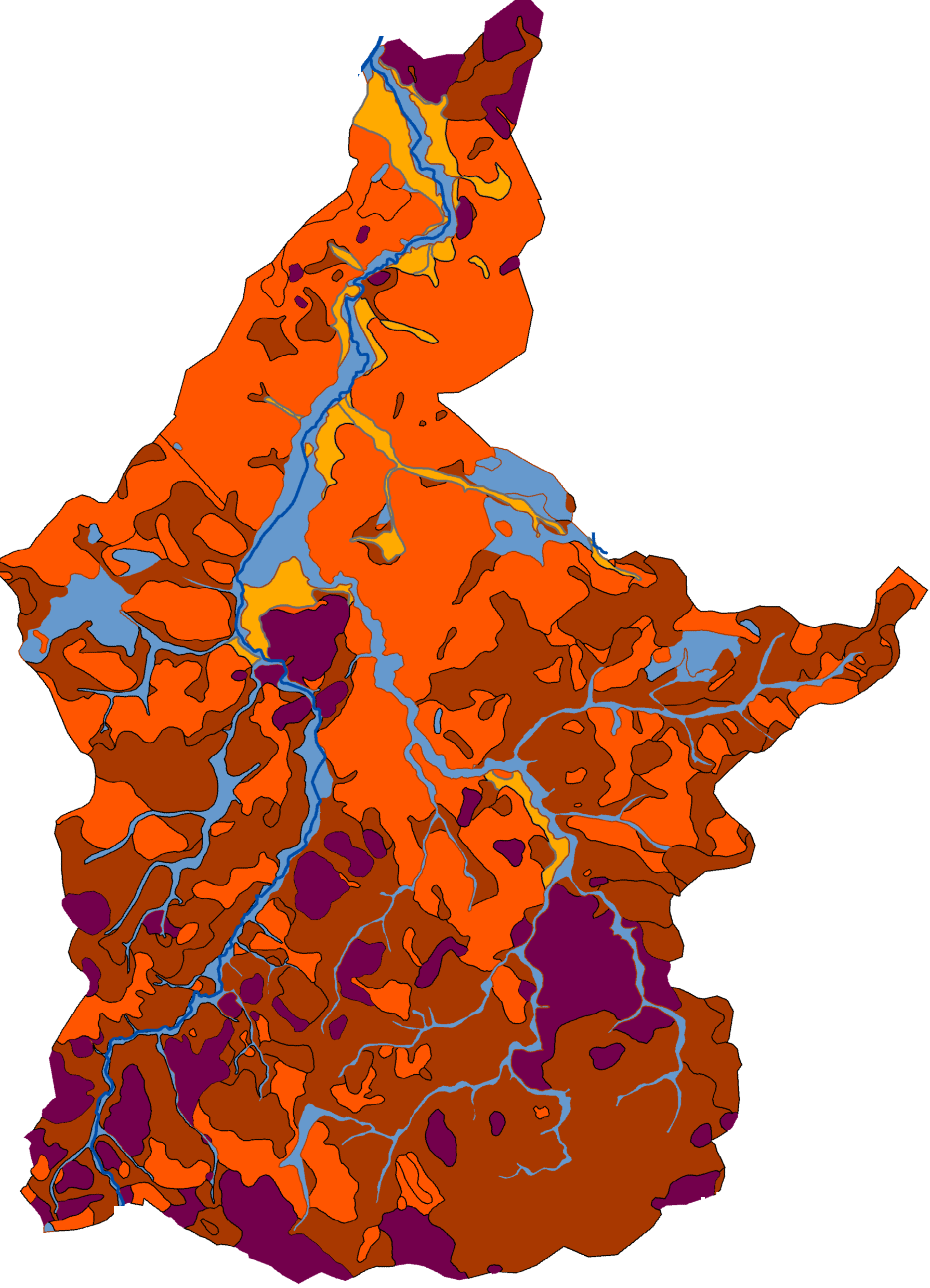
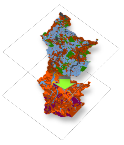
Mapping of areas vulnerable to soil water erosion
– Determination of problem areas in the Czerwona Woda catchment (Case Study)
Read more in English [pdf, 344 KB]