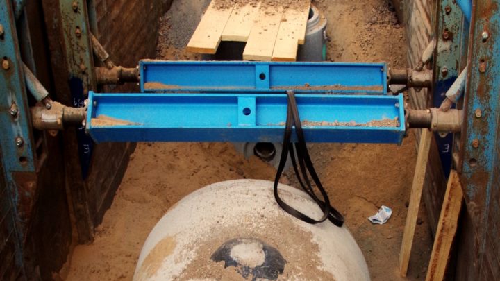
Underground tanks
Underground tanks work as retention basins. They can be integrated in the planning process of urban infrastructure in the underground like underground car parks.

Underground tanks work as retention basins. They can be integrated in the planning process of urban infrastructure in the underground like underground car parks.

Zoning plans for undeveloped plots of land which have already been designated as development areas are adapted to account for the risk to these areas; if necessary, a new area is designated as planning area for the revision stage (while the municipality revises the zoning/development plan).

Land-use planning is an effective instrument to reduce future heavy rain risk. The heavy rain risk can decrease significantly, if changes of use, adjustments of use, restrictions of use or heavy rain-adapted construction and development in flood prone areas are considered in both phases of planning: formulation and implementation of plans. The power of the…

Requirements are expressed when granting building permissions, in order to prevent negative consequences of pluvial floods for buildings and for third parties.

Visualisation of specific hazard and risk at site (e.g. on maps, installed billboard at locations etc.) is an effective way of pointing out dangers to affected persons and institutions. Maps indicate the specific hazard and risk on site and could be provided on the municipality’s online portal for example. Easily understandable information for the interpretation…

Exclude new developments that would increase the damage by shifting the location of the planned building outside the hazard area of the property.