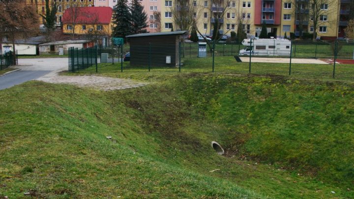
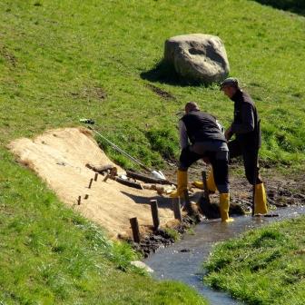
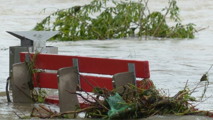
Contact persons and consultation hours for citizens’ consultation

By

Risk awareness grows and turns into action when recurring and continuous information and personal expert advice are provided to private home owners as well as to public bodies. Contact persons and public consultation hours offer a greater guarantee of success than online information services or advertising campaigns. Acceptance of measures can be additionally promoted if…

Infiltrating trenches/cells ; tree trenches

By

Infiltration cells/trenches and gravel drains (with an overlying swale, as deep bed or tree planting pit) reduce runoff rates and volumes by retention/detention and therefore can help replenish groundwater and preserve base flow in rivers. They treat runoff by filtration through the substrate in the trench and subsequently through soil. They are effective at removing…

Restoration of floodplains and floodplain forests, natural succession

By

Identifying and re-establishing of flood plains and deposition areas, such as by removal of protection structures for agricultural land, contributes to the retention of water along rivers and, thus, to heavy rain risk reduction. In the past, most floodplains have been taken over for other uses; former floodplain forests are separated from river and runoff…

Creation and maintenance of retention areas in urban areas

By

Retention areas should be placed in the lowest points of urban areas. Surface drainage must ensure that water is diverted towards these areas – preferably on the surface (hollows, streets etc.). Receiving waters and soil needs to be protected from pollution. The realisation of central retention areas is greatly dependent on available space and the…

Infiltration belts (grass) and buffer strips (permanent vegetation)

By

Infiltration belts should be projected on slopes in the direction of a contour. In the vicinity of reservoirs, watercourses and built-up areas they protect them against penetration with eroded material. Buffer strips offer good conditions for effective water infiltration and slowing of surface runoff. Hedges across long, steep slopes intercept and slow surface run-off water…

Risk area identification, mapping and designation

By

A proper hazard and risk assessment (with informative maps as central outputs) is the essential basis for starting an integrated risk management process. The assessment is a challenging multistep task, which requires – aside from clear objectives – input data (e.g. about historic events and damages, terrain and landuse data), methodological skills and decisions as…