Drainage ditches; swales

By

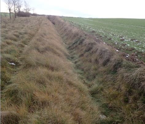
Ditches allow intercepting, infiltrating and alternatively draining the surface runoff without causing damage. They should be dimensioned to the corresponding return period of the discharge, meet functional requirements and get regular control and maintenance. Ditches on farmland are usually proposed in areas where the space for constructing furrows is limited. Within urban areas they are…

Small retention reservoirs

By

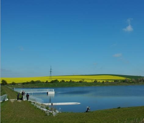
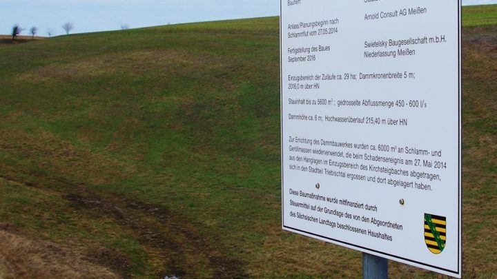
Reservoirs can be classified, among other criteria, according to size, however, the classification varies from country to country (e.g. CZ <2 000 000 m³ in parts smaller than 100 000 m³). For heavy rainfall risk management, small reservoirs on smaller water courses are of particular importance. They can protect objects in risk areas from the…

Dry detention reservoirs and depressions of any capacity

By

Natural or artificially created detention basins and depressions with a specific retention capacity can be used as temporary water reservoir for runoff water during heavy rainfall. They slow down the surface runoff; thus they contribute to a delay and attenuation of flood waves. They should be located at the deepest point in almost any surrounding…

Strategic documents

By

The measure covers all kinds of inormal planning documents for the improvement of land management in order to counteract dangerous phenomena of soil erosion and surface runoff in risk areas or minimise their effects (e.g. natural retention programs, urban adaptation plans for climate change, etc.). All regulations aim at determining directions of proceedings to reduce…

Establishing and considering of local and regional land-use planning

By

Land-use planning is an effective instrument to reduce future heavy rain risk. The heavy rain risk can decrease significantly, if changes of use, adjustments of use, restrictions of use or heavy rain-adapted construction and development in flood prone areas are considered in both phases of planning: formulation and implementation of plans. The power of the…

Visualisation and explanation of the specific risk situation at site

By

Visualisation of specific hazard and risk at site (e.g. on maps, installed billboard at locations etc.) is an effective way of pointing out dangers to affected persons and institutions. Maps indicate the specific hazard and risk on site and could be provided on the municipality’s online portal for example. Easily understandable information for the interpretation…