Assessing and clearing of environmental flood damages

By

The measure includes the assessment of damages to the environment, mostly caused by accidents at sources of pollution e.g. containers with hazardous materials. Procedures and criteria’s need to be defined (beforehand).

Dry detention reservoirs and depressions of any capacity

By

Natural or artificially created detention basins and depressions with a specific retention capacity can be used as temporary water reservoir for runoff water during heavy rainfall. They slow down the surface runoff; thus they contribute to a delay and attenuation of flood waves. They should be located at the deepest point in almost any surrounding…

Restoration of wetlands

By

Among other benefits, the measure serves as a heavy rain risk reduction measure as it delays and attenuates also water on its way to a stream. Wetland provides water retention and improves the hydrological regime of degraded land. Rewetting includes a wide variety of large and small-scale measures, e.g. impounding measures like blocking of drainage…

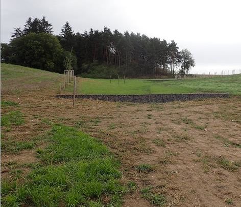
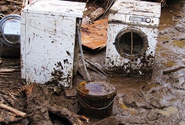
Assessing and clearing of flood damages at constructions and infrastructure

By

The measure includes the assessment of damages at buildings and infrastructure (e.g. transport routes, water supply, and waste water disposal) concerning their usability and the necessity for restoration after an event. The measure is also important for the settlement of claims through insurance companies. In case that support from public disaster funds is available, procedures…

Establishing and considering of local and regional land-use planning

By

Land-use planning is an effective instrument to reduce future heavy rain risk. The heavy rain risk can decrease significantly, if changes of use, adjustments of use, restrictions of use or heavy rain-adapted construction and development in flood prone areas are considered in both phases of planning: formulation and implementation of plans. The power of the…

Risk area identification, mapping and designation

By

A proper hazard and risk assessment (with informative maps as central outputs) is the essential basis for starting an integrated risk management process. The assessment is a challenging multistep task, which requires – aside from clear objectives – input data (e.g. about historic events and damages, terrain and landuse data), methodological skills and decisions as…