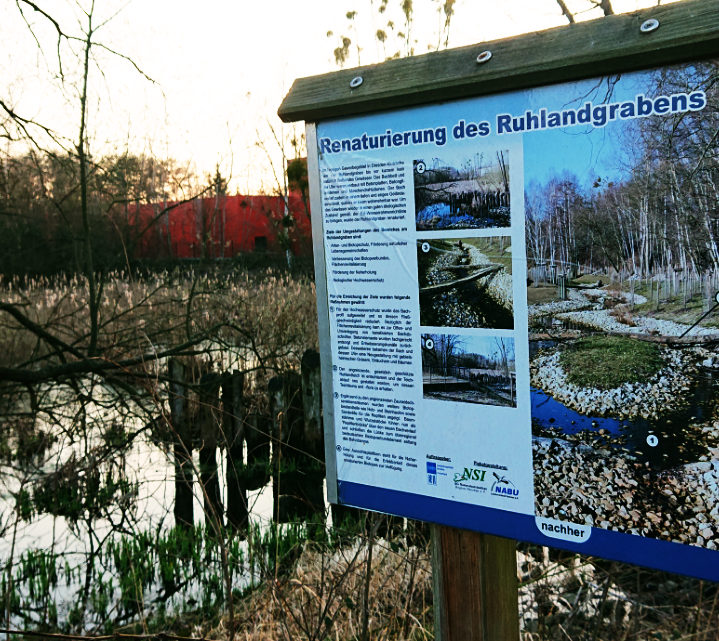
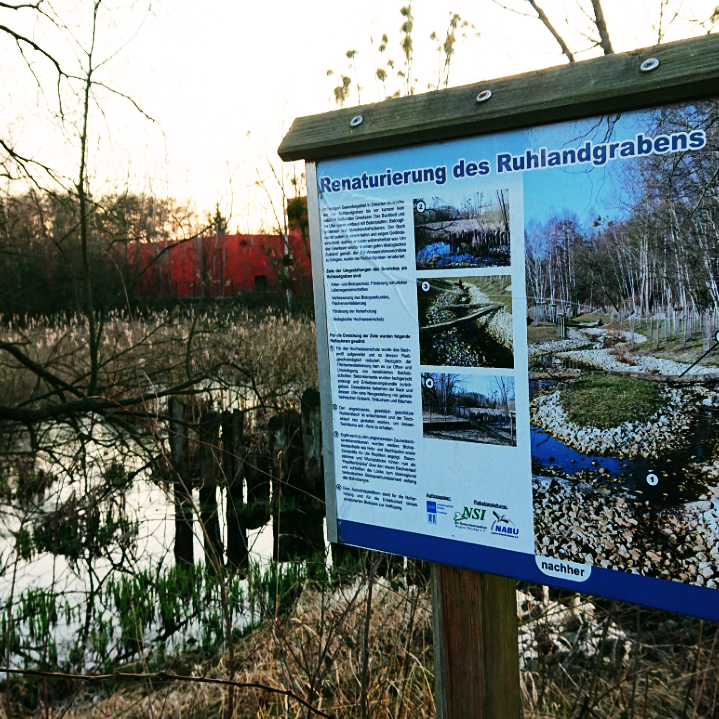
Visualisation and explanation of the specific risk situation at site
Jun
21
2020
Off
Visualisation and explanation of the specific risk situation at site
Visualisation of specific hazard and risk at site (e.g. on maps, installed billboard at locations etc.) is an effective way of pointing out dangers to affected persons and institutions. Maps indicate the specific hazard and risk on site and could be provided on the municipality’s online portal for example. Easily understandable information for the interpretation and a contact for questions are necessary.
Description
Fields of action
Fields of action
Settlement areas,Farmland,Forests,Watercourses,Risk communication,Buildings