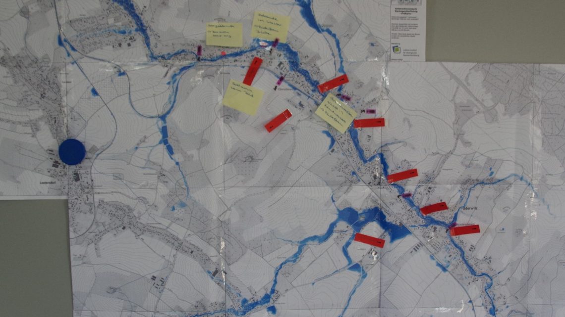
A proper hazard and risk assessment (with informative maps as central outputs) is the essential basis for starting an integrated risk management process. The assessment is a challenging multistep task, which requires – aside from clear objectives – input data (e.g. about historic events and damages, terrain and landuse data), methodological skills and decisions as well as resources. Based on the assessment results, the definition of an acceptable risk is necessary and the designation of land with a high risk of pluvial flooding for planning of appropriate risk mitigation measures is possible.
Description
Fields of action
Fields of action
Emergency management,Buildings,Settlement areas,Farmland,Forests,Watercourses,Risk communication