Catchment based concepts and plans; inter-communal cooperation
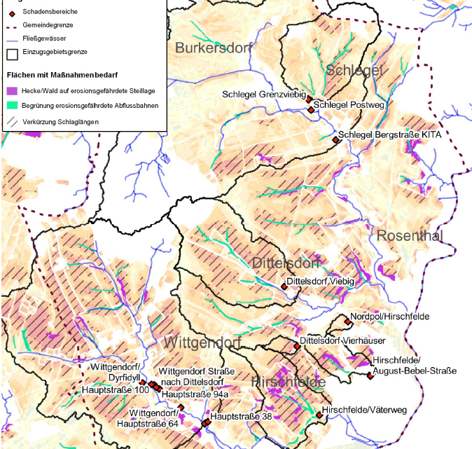
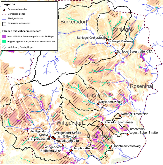
Land use and land cover changes as well as intensification or extensification of land use are altering the hydrologic system and have potentially large impacts on flooding in lower lying areas. Upstream and downstream interconnections, interactions and action’s intereffects should be taken into consideration in planning activities, especially when problems occur in settlement areas. Formal as well as informal planning procedures aiming on integrated spatial development, rural development, climate change adaptation or other purposes are feasible for planning approaches covering entire catchment areas. Concept and plans should accommodate the likely changes in precipitation and flooding patterns derived from climate change. Inter-municipal cooperation is one possible approach. It allows e.g. better cooperation among fire brigades, improvement of retention and management of surface runoff etc.
Check out the RAINMAN good practice examples:
READ MORE:
- Bundesministerium für Land- und Forstwirtschaft, Umwelt und Wasserwirtschaft (Ed.) (2015): 1. Nationaler Hochwasserrisikomanagementplan [The first National Flood Risk Management Plan for Austria], URL: https://www.bmlrt.gv.at/wasser/wisa/hochwasserrisiko/rmp2015/risikomanagementplan/risikomanagementplan.html (22.06.2020): einzugsgebietsbezogene Konzepte und Planungen zur Verbesserung des Wasser- und Feststoffhaushaltes erstellen
GFI Grundwasser-Consulting-Institut GmbH Dresden


