
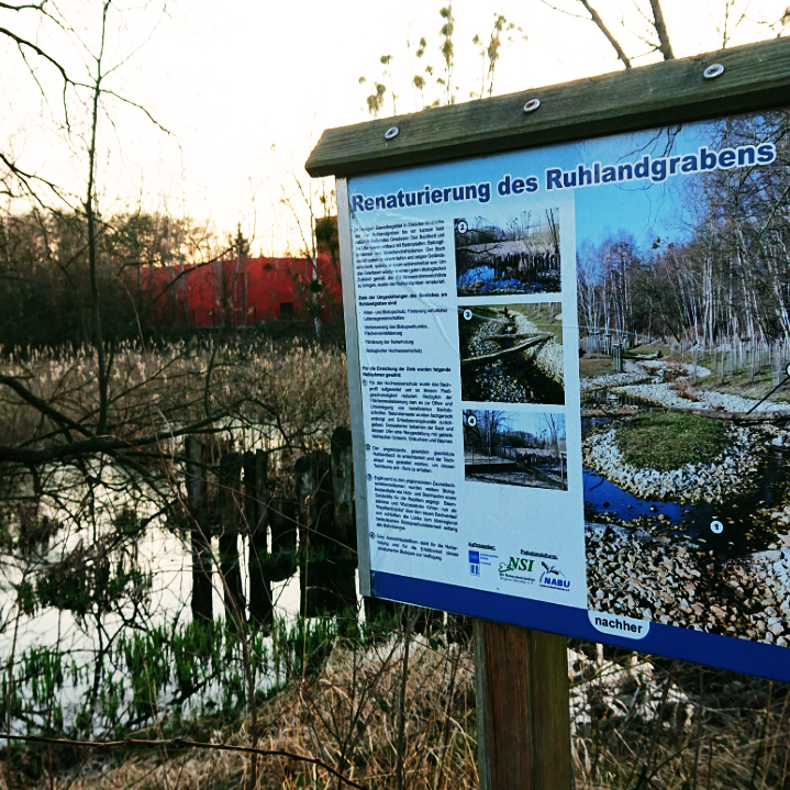
Visualisation and explanation of the specific risk situation at site
Visualisation of specific hazard and risk at site (e.g. on maps, installed billboard at locations etc.) is an effective way of pointing out dangers to affected persons and institutions. Maps indicate the specific hazard and risk on site and could be provided on the municipality’s online portal for example. Easily understandable information for the interpretation and a contact for questions are necessary.
Synergies may exist between heavy rain risk management measures and other development goals like environmental protection, health care, and economic performance. Harnessing them requires involvement of different actors, enforcement of exchange between you and them and holistic thinking.
Check out the RAINMAN good practice examples:
READ MORE:
PICTURES:
Sabine Scharfe, Saxon State Office for Environment, Agriculture and Geology