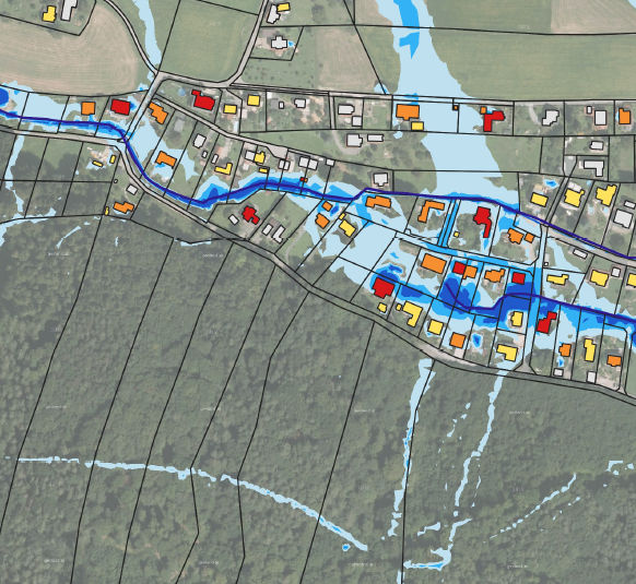
Establishing and considering of local and regional land-use planning
Land-use planning is an effective instrument to reduce future heavy rain risk. The heavy rain risk can decrease significantly, if changes of use, adjustments of use, restrictions of use or heavy rain-adapted construction and development in flood prone areas are considered in both phases of planning: formulation and implementation of plans. The power of the instrument is very limited for existing built up areas in hazardous locations.
Check out the RAINMAN good practice examples:
- Establishment of principles and regulations in the spatial plan of the municipality Nová Ves, CZ
- Project Climate Change Adaptation Plans in 44 Polish Cities (Urban Adaptation Plans – UAP), PL
- Land use and objectives for agricultural use considering the consequences of climate change in the Upper Elbe Valley/Eastern Ore Mountains Regional Plan, DE
Learn more about spatial planning in the different countries on the page ADAPT SPATIAL PLANNING
READ MORE:
- Bundesministerium für Land- und Forstwirtschaft, Umwelt und Wasserwirtschaft (Ed.) (2015): 1. Nationaler Hochwasserrisikomanagementplan [The first National Flood Risk Management Plan for Austria], URL: https://www.bmlrt.gv.at/wasser/wisa/hochwasserrisiko/rmp2015/risikomanagementplan/risikomanagementplan.html (22.06.2020): örtliche und überörtliche Planungen erstellen und berücksichtigen
Hydroconsult GmbH

